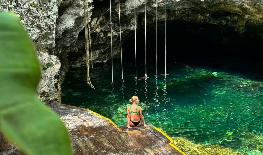
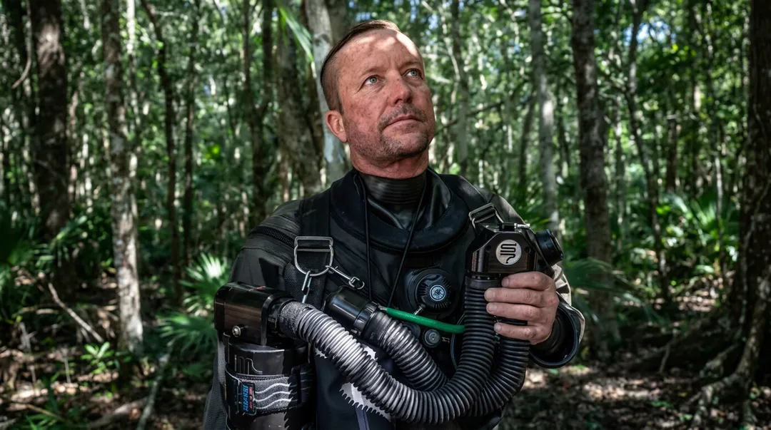
Cave divers have mapped roughly 2,000 kilometers of flooded passages under the Yucatan Peninsula. A new multiyear study of the Yucatan aquifer is testing whether that maze is a branch of a far larger network.
The research, known as the MAYAS Project, is led by explorer and cave-diving specialist Robbie Schmittner, who has spent more than 30 years exploring caves on the peninsula. Scientists from Mexico, Austria, and Germany are taking part, and the National Commission of Natural Protected Areas (Conanp) is backing the work.
The question is practical. Millions of people on the peninsula depend on this aquifer for their water, and so do tourism, farming, and fishing across Quintana Roo. Knowing how that water travels underground is the first step toward knowing which areas need the most protection.
Sac Actun and Ox Bel Ha may be side branches
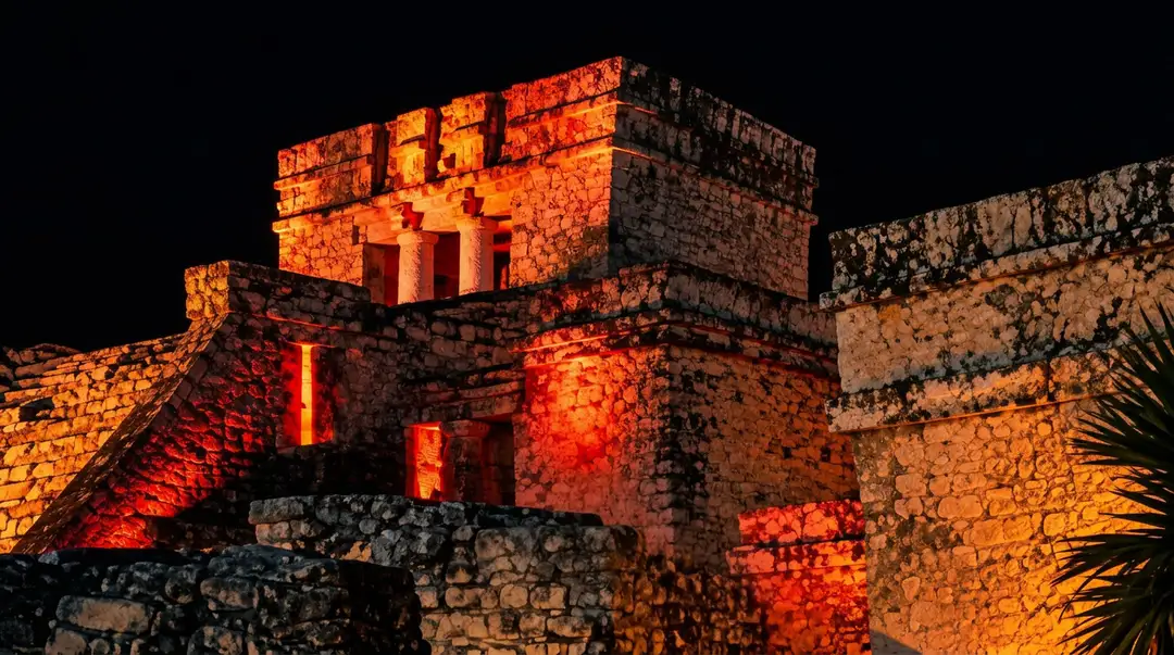
The project's central hypothesis concerns two names every diver in Tulum knows. Sac Actun and Ox Bel Ha rank among the most extensive flooded cave systems documented anywhere in the world, and both lie near the town. MAYAS researchers propose that these systems, for all their size, may be secondary expressions of a deeper hydraulic network whose main conduits have never been fully explored.
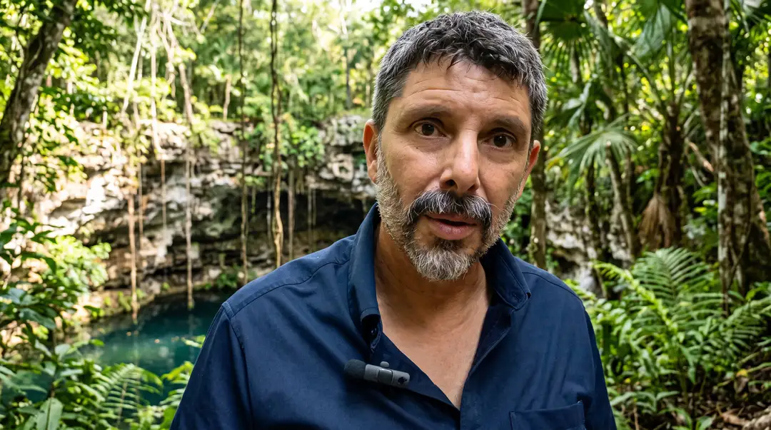
The name itself describes the goal. MAYAS is a Spanish acronym for large-scale water movement in the peninsula's underground aquifer.
The team presents the deeper network as a hypothesis, one that field measurements will either support or rule out. Nothing about its existence has been confirmed yet.
Six geological structures that may steer the Yucatan aquifer
The research model centers on six large geological structures that could play an important role in how groundwater circulates across the region:
- The Ring of Cenotes, the arc of sinkholes that traces the buried Chicxulub impact crater in Yucatan state
- The Sierrita de Ticul
- Rio Hondo
- Holbox
- Akumal, on the coast a short drive north of Tulum
- The La Libertad Arch
Researchers will study how these structures connect to one another and how each one shapes the movement of water at a regional scale, rather than cave by cave.

Could Yucatan Channel currents push water underground?
A second hypothesis looks offshore. The team wants to determine whether currents and pressure differences associated with marine dynamics in the Yucatan Channel, the passage between the Caribbean Sea and the Gulf of Mexico, serve as a significant driving force for groundwater circulation on land.
If the idea holds, the ocean would help set the pace of the water moving beneath the Riviera Maya coast. Like the deeper network, it remains a proposal to be tested with scientific study and field data.
Drones above the jungle, divers in the conduits
The fieldwork operates on three levels. From the air, teams fly drones carrying geophysical instruments that can detect signs of fractures and possible cave structures beneath the surface.
On the ground, researchers examine geological formations and search for cenotes and other natural entry points into the water system.
Underground, specialized cave divers travel and map the flooded conduits. Their work includes measuring flow rates and currents, analyzing water quality, and collecting samples for DNA and biological study, including algae and bacteria. Taken together, the data should provide a broader picture of the routes water follows and how the geological structures link together.
Possible Ice Age remains and a blind cave fish
The expeditions have already produced finds that extend the project's reach beyond hydrology. According to reports on the project, team members located human remains that may date to the last Ice Age, as well as a blind cave fish that could represent a species previously unknown to science.
Information released so far does not specify where the remains were found or how their age was estimated, and the fish has not yet been formally described.
The region has precedent for both kinds of discovery. In Hoyo Negro, a submerged pit within the Sac Actun system, divers recovered the skeleton of a teenage girl, later known as Naia, dated to roughly 12,000 to 13,000 years ago, making it one of the oldest human skeletons found in the Americas. The peninsula's flooded caves are also home to blind fish and crustaceans adapted to permanent darkness.
Where contaminants travel once they enter the caves
Because the aquifer is connected, substances that enter it at one point can travel considerable distances and reach ecosystems far from where they were introduced. One of the project's main goals is to identify the zones most vulnerable to contamination.
That knowledge could give authorities a scientific basis for protecting cenotes, wetlands, mangroves, and coastal ecosystems as urban growth on the peninsula continues. The team notes that pinpointing those areas depends on what the research ultimately shows.
Five years of fieldwork, with Belize and Guatemala in view
The project is planned to run for at least five years. It has support from Rolex's Perpetual Planet initiative and works with universities, research centers, and government institutions, including Conanp and the National Institute of Anthropology and History (INAH).
Its fieldwork also covers parts of Veracruz and other areas of southern Mexico, with a possible extension into Belize and Guatemala. Findings will be shared through scientific publications, partnerships with conservation agencies, and educational programs for schools, universities, and the public.
For Tulum, the answer to watch for is whether Sac Actun and Ox Bel Ha are branches of something deeper. Until the measurements come in, the map of the water beneath the town remains unfinished.
Which cenote or cave system near Tulum would you most want researchers to map next? Join the conversation and share your perspective with us on Instagram and Facebook at @thetulumtimes.

The Tulum Times · Newsletter
The story continues in your inbox.
Essential Tulum news and local insight, a few times a week. Free.
No spam. Unsubscribe anytime.
Tulum Cenotes, Ruins, and Practical Visitor Guides
Guides, access updates, regulations, and practical planning around cenotes and the Tulum archaeological zone.

“The best journalists reporting from paradise, highlighting the heroes that keep Tulum the most beautiful place in the world! THANK YOU!”